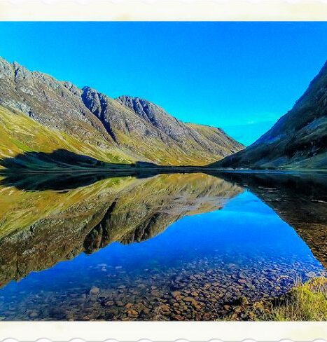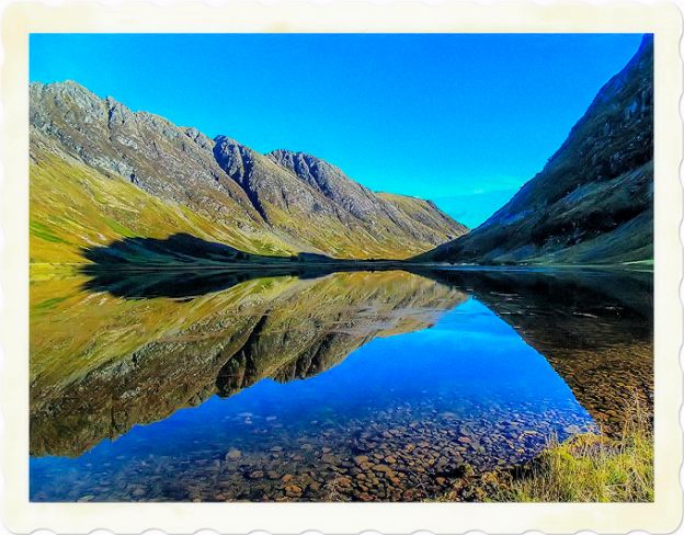
The Scottish Highlands, a short article that explains the great beauties of this region with its main features and places such as Inverness, Aberdeen and Perth.
There is magic in Scotland. It’s a country with a lot of pride and bravery.
Gayle Rankin
It doesn’t matter if it’s soggy or it’s sunny, there are so many lovely roads and awesome rugged countryside in Scotland – that’s what makes it.
Edd China
Of all the small nations of this earth, perhaps only the ancient Greeks surpass the Scots in their contribution to mankind.
Winston Churchill
Staring into a Scottish landscape, I have often asked myself why – in spite of all appearances – bracken, rocks, man and sea are at some level one.
Neal Ascherson
Autumn in the Highlands would be brief – a glorious riot of color blazing red across the moors and gleaming every shade of gold in the forests of sheltered glens.
Elizabeth Stuart
The Scottish Highlands
Highlands (region), mountainous region, northern Scotland, including the Inner and Outer Hebrides, extending north and west of the Grampian Mountains. It is separated only by a vague line of demarcation from the region called the Lowlands. For centuries the Highlanders were distinguished from the Lowlanders by culture and language, particularly by the persistence of the Gaelic language among Highlanders. They have been a popular subject for poetry and fiction, most memorably by Sir Walter Scott. Major industries are fishing and sheep raising. The chief cities are Aberdeen and Inverness.

The Highlands officially comprise that part of Scotland to the north of the Highland Line, which stretches diagonally across the country from just north of Glasgow in the west, to just north of Dundee in the east. The West Highlands are best approached along the shores of Loch Lomond, Britain’s biggest body of fresh water, and although it bears too many signs of being the playground of nearby Glasgow, it is still scenically stunning in parts.
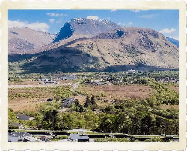
Grampian Mountains, also Grampian Hills, mountain system, central Scotland, forming the natural division between the Lowlands and Highlands. They extend through the center of Scotland in a southwestern to northeastern direction. At the western extremity of the mountain mass is Ben Nevis, the highest peak in Great Britain, which rises 1343 m (4406 ft) above sea level. The other chief summits are Ben Macdhui (1,309 m/4,295 ft), Braeriach (1295 m/4249 ft), Cairn Toul (1293 m/4241 ft), Cairn Gorm (1245 m/4084 ft), Ben Lawers (1214 m/3984 ft), Ben More (1171 m/3843 ft), and Ben Alder (1145 m/3757 ft).
The principal rivers rising in the Grampian Mountains are the Findhorn, Spey, Don, Dee, South Esk, Tay, and Forth. The mountains present a generally bold aspect, but in places they slope gradually, affording excellent pasturage. In the north the mountains are more rugged and difficult to traverse. Among the famous passes through them are those of Aberfoyle and Killiecrankie.
The Grampians contain the finest deer forests in Scotland. The name of the mountains was derived from the Mons Graupius, mentioned by the Roman historian Cornelius Tacitus as the site of a battle where the Roman statesman and general Gnaeus Julius Agricola defeated the Caledonians in ad 84.
Aberdeen (Scotland), city in northeastern Scotland, situated on the North Sea at the mouths of the Dee and Don rivers. Aberdeen is the third largest city in Scotland, after Glasgow and Edinburgh, and is the principal industrial center of northern Scotland. It is also an important seaport and the country’s largest fishing port.
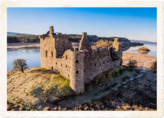
Aberdeen’s harbor facilities were improved in the 1970s, and the city has become the major service center for the North Sea petroleum industry. Manufactures include chemicals, machinery, textiles, and paper. Aberdeen is a tourist resort known for its sandy beaches. It is popularly known as the Granite City because many of its buildings are constructed of local granite, the city’s chief export.
Points of interest include the Church of Saint Nicholas (founded in the 12th century), the largest parish church in Scotland; the Cathedral of Saint Machar (begun 15th century); and the University of Aberdeen, formed in 1860 from the merger of the Roman Catholic King’s College (1495) and the Protestant Marischal College (1593). The city also has several museums, an art gallery, and colleges of agriculture and technology. Aberdeen was made a royal burgh in 1179.
In 1337 the town and its cathedral were burned by Edward III, king of England. The harbor was improved in the late 18th century, after which Aberdeen developed as a fishing port. Between 1974 and 1996, Aberdeen was the administrative center of the former Grampian Region. In the 1996 reorganization of local government, Aberdeen City was made a unitary authority. Population 211,300 (2001 estimate).
Inverness, burgh, administrative center of Highland unitary authority, northern Scotland, on the Ness River and the Caledonian Canal, near its mouth on an arm of Moray Firth. Inverness is the road and rail hub of northern Scotland and the commercial center for a large area. Manufactures include processed foods, iron and steel, electrical equipment, and woolens. Its port handles mainly imports of petroleum products.
Among the points of interest are a castle built on the site of a 12th-century structure and the nearby Craig Phadrig, the remains of a fort dating from about the 4th century. The strategically located site was the capital of the Picts in the 6th century.
It was here in about 565 that Saint Columba converted the Pictish king Brude to Christianity. By the 12th century Inverness was a thriving trading community and had a royal castle. The castle was destroyed in 1746 by the Jacobites. Before 1975 Inverness was the county town of the former county of Inverness-shire. Population 63,850 (1993 estimate).
From Tarbet the choice lies between continuing north along the loch-side or striking west towards Oban and eventually the coast and the islands beyond. In whichever direction he goes, the traveller must bear in mind that he is now heading into sparsely populated territory.
Here hotels and other facilities are thinly scattered and whilst the roads are well surfaced, they are narrow and used as much by sheep, and occasionally by other large animals, as by humans. He will come across few comforts or man-made diversions outside the handful of towns in this large area, but he will be rewarded by memorable scenery on a scale not found elsewhere in Europe.
He should, therefore, plan his route well and book ahead his overnight stops if he requires the usual hotel amenities. At the same time, it can be more rewarding to stay in the villages or in the countryside itself, taking advantage of the seasonal bed and breakfast accommodation provided at modest rates by the local people in their own spick and span homes. He will find a shy but friendly welcome in a type of homely accommodation which he might not contemplate trying, if he could find it, anywhere else in the word.
The Grampians The North-Western Highlands are, I suppose, the true Highlands – more sheep than people, shaggy Highland cattle, eagles and stags, heather-covered hills, rain-soaked mountains and crofters scraping a meagre existence from the deprived soil.
But the Grampians, to the east of Loch Ness, afford their own form of majesty, albeit in a gentler hue, with more people on the ground and a greater incidence of economic activity, be it farming, fishing, game hunting, whisky distilling or tourism.
The countryside is softer, more arable, greener – yet still unspoiled, but without the barren remoteness which so marks the bigger country to the north and west. This is the area lying roughly within the triangle of Inverness, Aberdeen and Perth. It is full of castles, fortified houses and golf courses. To these are being added ready-made tourist attractions designed to package all that is best in the area for the lazy or unadventurous, but an economically depressed region is bound to try and make the most of its widely scattered assets.
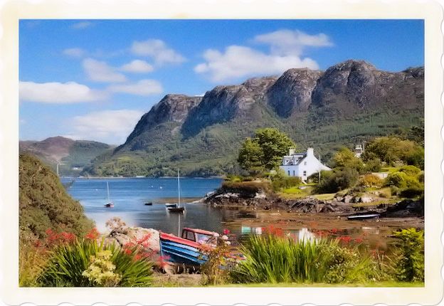
For the amateur historian, there are trails aplenty to follow, battles to refight and scenes of tragedy to visit. Although the pacification of the Highlands following the Jacobite Rebellions of 1715 and 1745 caused hardship, it did bring, through a network of military roads, the first viable system of communications which the area had ever known and has benefitted from ever since, and eliminated once and for all the lawlessness which was once rife in the area, often in the form of bloody inter-clan warfare.
Oban is a focal point – even a cross-roads – but, like all Highland towns, not a place in which to linger when there is so much striking scenery around. However, it is a useful departure point for the Western Isles which are best visited by one of the MacBrayne ferries operating from Oban.
Of the inner islands, Mull and Skye (which is reached by a very easy crossing further up the coast) are the most significant. Mull comprises mountains and rough moorlands, forested glens and sheer cliffs, rocky coves and stark peninsulas. The ferry ride affords every opportunity for the visitor to assess for himself the beauty of Mull as he approaches it, and a strong hint of its dark history is signalled by the colossal ramparts of Duart Castle which broods over the Firth of Lorn.
In sharp contrast, the main town of Tobermory has a rather jaunty, holiday air about it in the summer and the golf course at the top of the cliffs above the town must be one of the most challenging and scenic in Scotland. From Tobermory, one can continue on by ferry to the other islands of Coll, Tiree, Barra and South Uist.
Skye is a much bigger island and considerably further north with the bonus of many miles of unspoilt mainland countryside to be traversed en route. At its nearest point it is a mere half mile from the mainland. Skye possesses a barren beauty which sets it apart from the rest of Scotland and which is made all the harsher by the virtual absence of trees over much of its surface.
It is a rock climber’s paradise with its mountains and ridges offering a challenge to all levels of competence. From Skye or from Mallaig on the mainland, the small isles of Eigg, Muck, Rhum and Canna can be reached by ferry. Mallaig is the rail-head and an important fishing port. The road or rail journey from there to Fort William along the southern edge of the Morar peninsula is one of the prettiest in the Highlands.

John O’Groats. The very north of Scotland, and particularly the eastern seaboard, has become more accessible of late with the development of improved road links beyond Inverness. Thus, the determined driver can reach John O’Groats, the most northerly point on mainland Britain, in three hours and be back in Inverness in time for tea.
However, such a hurried schedule is not to be recommended since he will have no time in which to enjoy the varied scenery or to make excursions into the more interesting of the towns along the way, such as Tain, Dornoch and Strathpeffer, and considerably more time will be needed to explore the more rugged north-western coast, to say nothing of the Orkneys and Shetlands beyond, which are another world.
Perth The fair city of Perth is a dignified exit point from the Highlands and although not a Highland town in its own right, it lies squarely between those two parts of Scotland which share so much yet are so different in outlook and experience – the Highlands and the Lowlands.
The Scottish Highlands is the only area in the British Isles to have the taiga biome as it features concentrated populations of Scots pine forest: see Caledonian Forest. It is the most mountainous part of the United Kingdom.
is a historical region of Scotland. Culturally, the Highlands and the Lowlands diverged from the Late Middle Ages into the modern period, when Lowland Scots replaced Scottish Gaelic throughout most of the Lowlands.
If you want to find out more about Scotland you can also read:

